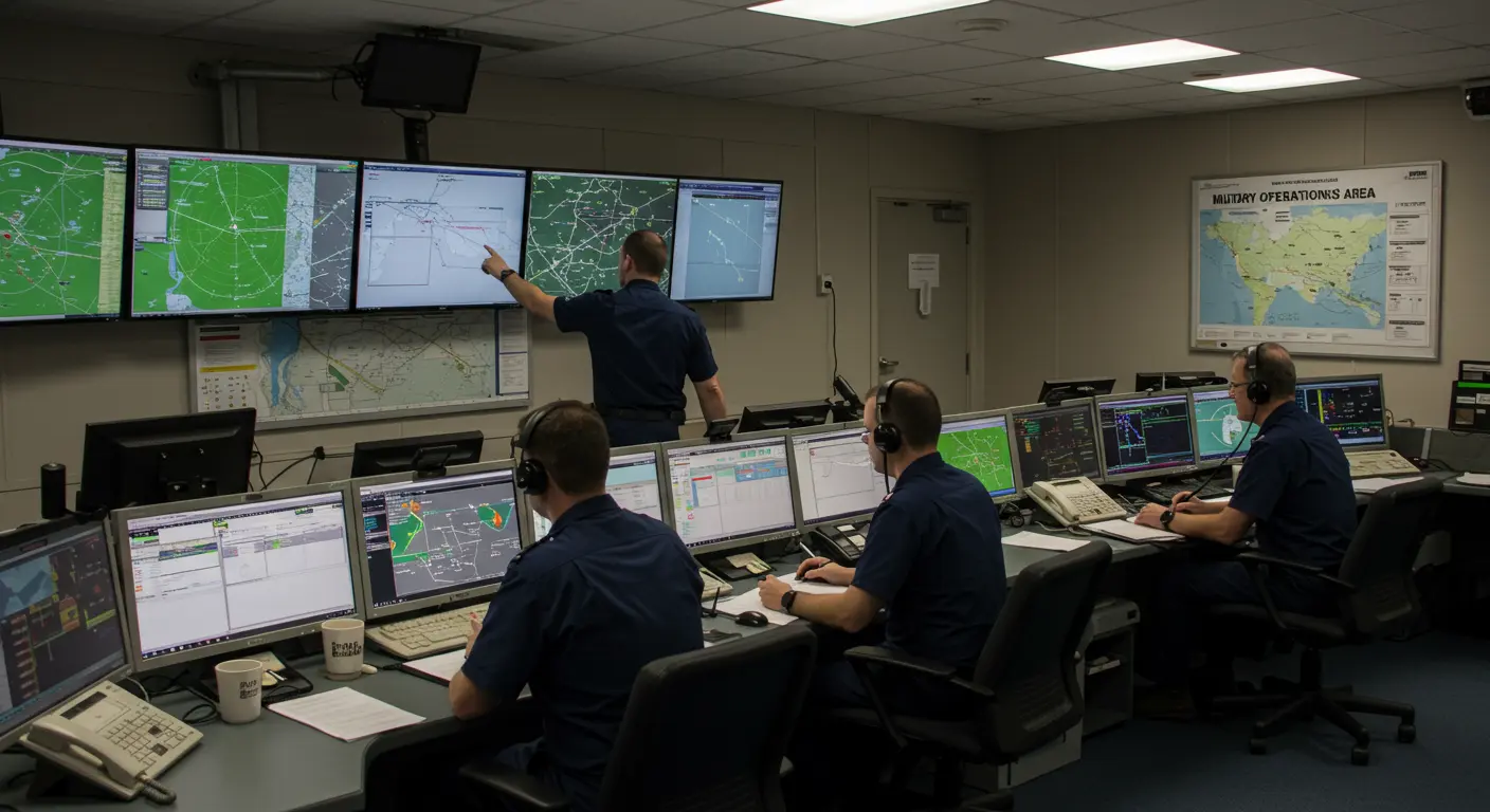
What is a Military Operations Area (MOA)?
A Military Operations Area (MOA) is specialized airspace established beyond Class A boundaries, designed to segregate non-hazardous military activities from IFR traffic while alerting VFR pilots to ongoing operations. Though these activities pose minimal direct threat, they require certain restrictions on non-participating aircraft.
Most Moss exist below 18,000 feet MSL. This creates dedicated training zones for critical military exercises while keeping civilian aviation disruption to a minimum.
Unlike restricted or prohibited zones, Moss operate on a shared-use principle. Military training takes priority, yet civilian aircraft retain conditional access. This balanced approach sustains military readiness without completely sacrificing public airspace availability.
Understanding MOA navigation rules is essential for both civilian and military aviators. The regulatory framework shifts dramatically based on whether you’re flying under Visual Flight Rules (VFR) or Instrument Flight Rules (IFR).
VFR pilots face no outright prohibition from entering active Moss—no special permission required. Yet this freedom demands heightened personal accountability. Smart pilots contact the controlling agency for activity updates and request flight following services.
Air Traffic Control may thread IFR flights through Moss when adequate separation from military operations can be guaranteed. More commonly, however, controllers reroute traffic around active zones to prevent potential conflicts.
All pilots must exercise extreme vigilance within active Moss, regardless of flight rules. Military aircraft execute high-speed maneuvers, operate at unpredictable altitudes, and change direction without warning. This dynamic environment demands heightened situational awareness.
For maximum safety, pilots should verify current MOA status—active or inactive—through Flight Service Station (FSS) consultation before entry. Both military and civilian aircraft share these spaces, making current information vital.
MOA Airspace Restrictions and Safety
Military Activities Conducted in Moss
Military Operations Areas serve as essential training environments where military aviators develop skills necessary for combat readiness. These specialized airspaces accommodate training activities that would be dangerous or impractical in standard civilian corridors.
Key training activities conducted in Moss include:
-
Air combat tactics: Simulated dogfights and engagement scenarios.
-
Air intercepts: Practicing the identification, tracking, and engagement of other aircraft.
-
Formation training: Developing precision flying skills for coordinated military operations.
-
Low-altitude tactics: Simulating terrain-following missions or detection avoidance.
-
Aerobatic maneuvers: Enhancing aircraft handling skills in extreme flight conditions.
Moss maintain scheduled active periods, yet military aircraft presence fluctuates unpredictably. Pilots seeking real-time activity intelligence should contact Flight Service or the designated Air Route Traffic Control Center.
This separation system enables military pilots to concentrate fully on training objectives while preserving overall airspace safety. For civilian aviators, grasping these activities provides crucial context for the heightened caution required when operating near or within active Moss.
Using Sectional Charts to Identify Moss
Sectional charts are essential tools for MOA identification and analysis during preflight planning. Moss appear outlined by distinctive hashed magenta lines marking their boundaries. Each bears clear labeling—the MOA name followed by “MOA” and often a state abbreviation or regional identifier.
Chart examination reveals critical MOA intelligence. Typical details include operational hours, altitude parameters (both floor and ceiling), controlling authority contact data, and the responsible military unit. This information is valuable for thorough flight planning and risk evaluation.
Altitude specifications demand particular attention—they define the MOA’s vertical boundaries. Some Moss begin at ground level. Others commence at specified heights above terrain. Upper limits vary based on training requirements and local airspace architecture. Understanding these vertical dimensions helps pilots determine potential route conflicts.
Current MOA status requires verification beyond chart information. Pilots should identify the controlling agency from the chart, then contact either that authority or Flight Service Station before departure. Why? MOA status shifts frequently, and printed charts may not reflect temporary modifications or real-time activity levels.
Digital flight planning platforms like ForeFlight make MOA information easier to access. Pilots can typically “long press” airspace regions on electronic maps to reveal comprehensive details, including current activation status.
Sectional chart proficiency for MOA identification is a fundamental skill for safe navigation in military training zones. Using chart information along with real-time status updates from official sources allows for better route planning and continued awareness throughout flight operations.
Temporary Moss – Guidelines and Procedures
Temporary Military Operations Areas (Texas) constitute a specialized MOA category established for specific military exercises or training events that permanent Moss cannot accommodate. These temporary designations follow unique guidelines and procedures that demand pilot understanding.
Texas never appear on printed sectional charts due to their temporary nature. Pilots must look for them in Notums (Notices to Airmen) or consult FSS before flight.
AMOA establishment involves significant coordination between military units and the FAA. Requesting organizations must justify the temporary airspace need and collaborate with air traffic authorities to minimize civilian operation impacts. This includes precise boundary definition (both lateral and vertical), operating schedules, and activation/deactivation protocols.
Communication is extremely important near Texas. Pilots should maintain radio contact with appropriate controlling agencies and prepare for potential rerouting if military activities escalate. Like permanent Moss, VFR pilots may legally enter Texas—but extreme caution and preferably pre-entry agency contact remain strongly advised.
Understanding these temporary airspace designations and following proper information-gathering procedures enables safe navigation during AMOA activation periods. This ensures both military training success and civilian flight safety.
